Slow Starts and Musings in the Eastern Sierra
After a few years in SW Montana and splitting time last season between the Cascades and Bozeman, I decided to take a flier and move to the Eastern Sierra following ski guiding work with High Sierra Snowcat and Blackbird Mountain Guides. It’s a place I’ve never been, but like most in the backcountry skiing community, have heard plenty about. After a couple days of guide training at the beginning of December in the Tahoe area, I made my way south on 395, eager to get settled in for the winter. The Truckee-Tahoe-Reno-Carson City metropolis is busy to say the least, and I found myself shocked at how quickly packed roads and box stores gave way to sage brush, distant peaks, and small towns. A couple hours later and after a beautiful sunset, I rolled into June Lake, CA, my home for the winter.
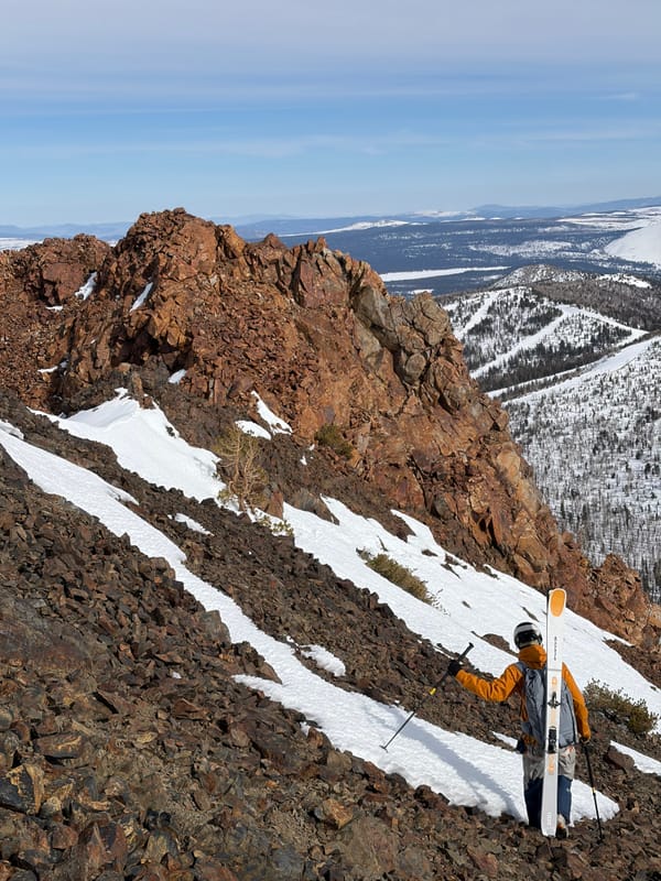
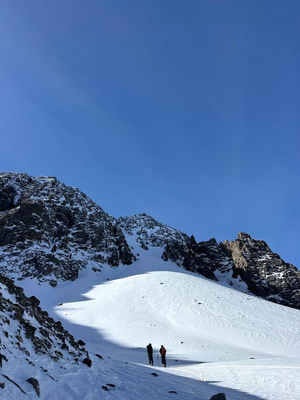
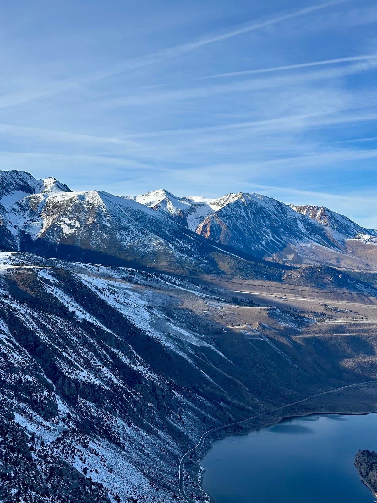
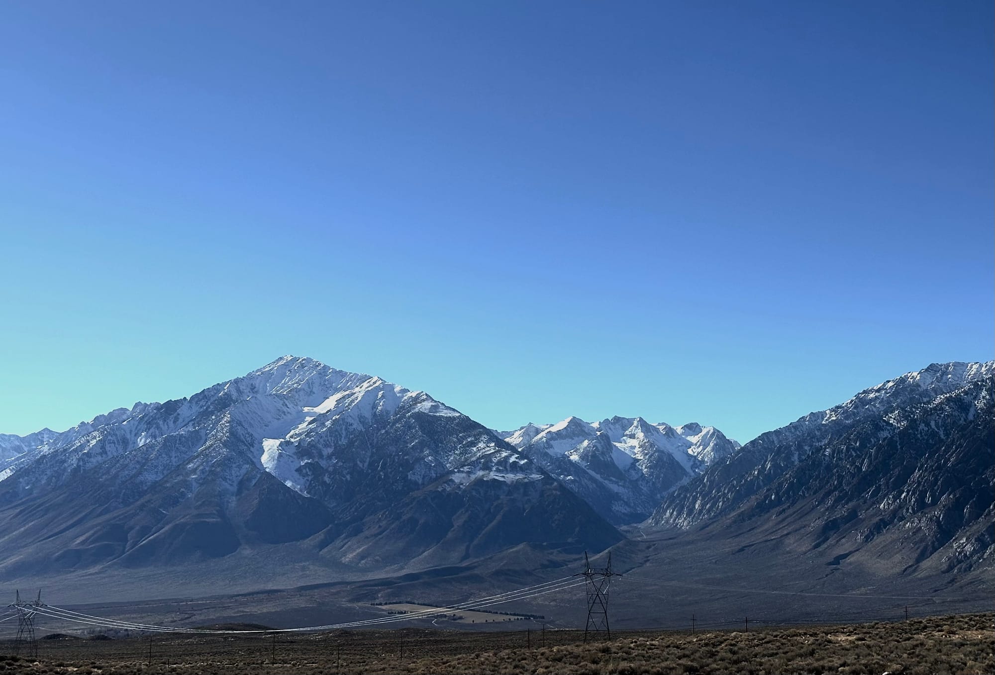
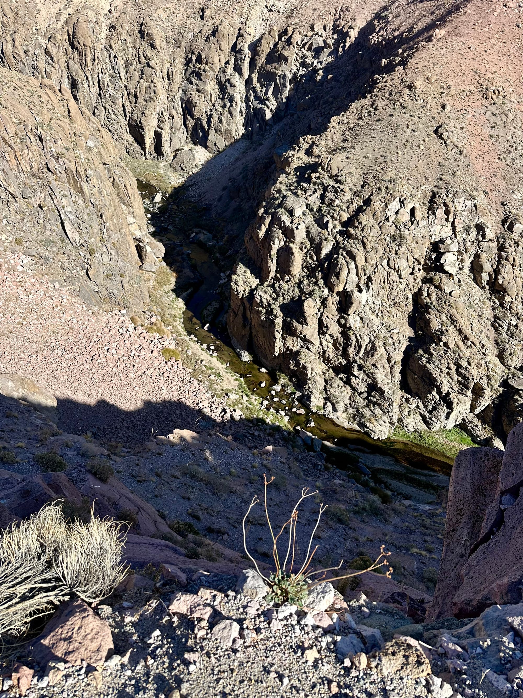
Despite a fairly meager snowpack and current skiing being mostly confined to the boundaries and lifts of Mammoth Mountain, my first week on the East Side has me hooked. So far, it seems to be true that it’s either sunny or snowing out here. Waking up to blue skies on a daily basis makes getting out of bed and outside easy and the proximity to the mountains is inspiring. This past weekend, I had the opportunity to head down the hill towards Bishop to do some mild sport climbing in Owen’s canyon. As we parked our car at the top of the gorge and I stepped out wearing flip flops with the california sun warming my back, the juxtaposition between high desert and the 13,000’ Bishop skyline across the valley is nothing short of incredible. From our view point, I found myself drawn towards the NE face of Mt. Tom, a roughly 7000’ descent when the conditions are right. To make things even better, Mt. Tom is one of hundreds of inspiring peaks in the range.
Although the balmy temps and romps in T-shirts have been nice, and the wind buff at Mammoth is admirably holding on, we are in desperate need of snow to get this season going. It’s been a bit of an odd start to winter across the Western United States. While the Northeast has been in a much deserved continuous cycle of cold temps and consistent precipitation, out west we’ve been through a roller coaster of unseasonably warm temperatures, relatively short lived stretches of cold with significant precip, relentless high pressure, and now a pineapple express is walloping the PNW.
Here in the Eastern Sierra, we received a fairly significant October storm from the 14th to the 15th that dropped 1.8” snow water equivalent (16” snow) at the Sesame Study. Fortunately, or unfortunately depending on your perspective, most of this snow melted away before our first atmospheric river rolled in this year on November 13th. This multi-day storm began as rain at all elevations before gradually cooling through the 18th. When all was said and done the storm left us with 20” of snow with a relatively high 3.3” SWE. A quick hitter rolled through a couple days later and left us with another 4” of 10% density snow to top things off. All things considered, it was a solid week of precipitation to kick off the season with a quality right side up, base building storm. On the bad news side of things, it’s been almost three weeks since it last snowed and it’s looking likely that this spell of stout high pressure could push past a month. If we’re lucky, we might get ourselves a white Christmas.
The season total of 41” at Mammoth may seem a bit rough, but you might be surprised to hear that we are sitting at 80% median snowpack at Virginia lakes, 100% at Sawmill down near Bishop, and a whopping 208% at Cottonwood Lakes near Mt. Whitney as of 12/9/25. Of course, this only tells part of the story as with the abundance of warm sunny days, solars have been getting cooked down to dirt and shady aspects have been progressively faceting out leaving us with a not particularly desirable snowpack.
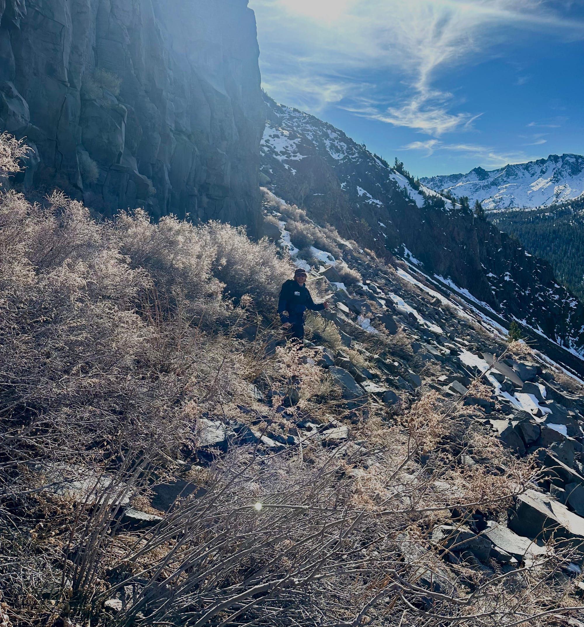
On a recent field day featuring trail runners and some mild rock scrambling with my roommate and ESAC forecaster, Sean Smollen, we got acquainted with the start zones in the Sherwins just above the town of Mammoth Lakes. On these North through Northeast aspects around 10k feet, we were finding a stout slab of wind board sitting on top of weak facets that progressively became firmer towards the ground before transitioning to a thin layer of crusty ice forms overlaying the ground. This strong over weak setup featuring facets formed during this long stretch of high pressure, is currently common across the East Side. While it‘s largely stable at the moment, it’s likely to become a problem in the future that could be with us for a while.
Here’s to hoping we get a significant pattern change accompanied by a massive atmospheric river to set things straight. At the end of the day, it’s still early December and there’s a lot of winter left to be had! It could certainly be worse and if you need a little something to feel good about we are already over 40% of the total snowfall from the ‘76/’77 winter. 🙃